Sunday 1 March 2020

Forest Hill station 1944 and 2020

Forest Hill station, 1944

The station sadly suffered bomb damage in WW2, leading to the architecturally bereft structure we find today. The 1944 picture clearly shows the Barclays Bank on London Road, which closed in 2018. 

On the far left, you can see the Dartmouth Arms, which the station was originally named after when it opened in 1839.

Forest Hill station, March 2020

Perry Hill Post Office


Perry Hill Post Office circa 1885

A really proud piece of advertising from the time, showing off the shops' wares, highlighting that Post Office was only part of the shops business. It also looks like a couple of policemen are in shot as well. I've noticed a few stray policemen in the pictures - which makes some sense in that the Police station is just down the road. Presumably there were more bobbies on the beat back then.

I am not too sure on the date, but know it is before 1894 from the Ordnance Survey map of that date. From a little web-search, according to the local News Shopper newspaper, it looks like there was a Post Office on Perry Hill until 2003.  

The Ordnance Survey map shows where the Post Office was, which I wouldn't have located from this picture alone. There is a wider lens shot on a Lewisham borough website which I did initially use to find the position. It was much easier to just check the map! The map also highlights the Smithy next door, which would have been reached by the alleyway 'guarded' by the bobbies.

Today stands a Social Housing scheme, named Dowson House. It is difficult to imagine a reenactment of the original by the inhabitants, but you never know - maybe a picture for the future.

Dowson House, Perry Hill, Feb 2020

Forest Hill Library

Forest Hill Library, circa 1910
A beautiful, Arts & Crafts style building opened in 1901, built to plans by local Sydenham resident architect, Alexander Hennell who also designed High Street buildings on Kirkdale. I think the refurbishment in 2008 makes it look good as new.


Monday 17 February 2020

Old Fire Station, Perry Vale

Fire Station, Perry Vale, circa 1910
There is a nice write up about the fire station on the Sydenham Society website, written about 2010 when development plans were drawn up. Since then, the fire station has been developed and is offices downstairs and flats above. The original doors through which you can see the old tenders in the original photo are still in place as well as the foundation stone showing it being built in 1901. Grade 2 listed since 1973,  I am glad the windows are now white rather than the original yellow!

It is a lovely Arts & Crafts building and a beautiful addition to the area. I hadn't realised the tower acted as a look out for firemen to scour the area on the watch for fires.

Old Fire Station, Feb 2020


Sunderland Road

Sunderland Road, circa 1910
The original postcard has some writing from a father to his daughter, including the words, "This will show you Lilley, how nice it is here." The scene looks quite idyllic, with a beautiful wide avenue of late Victorian homes in leafy suburbia.

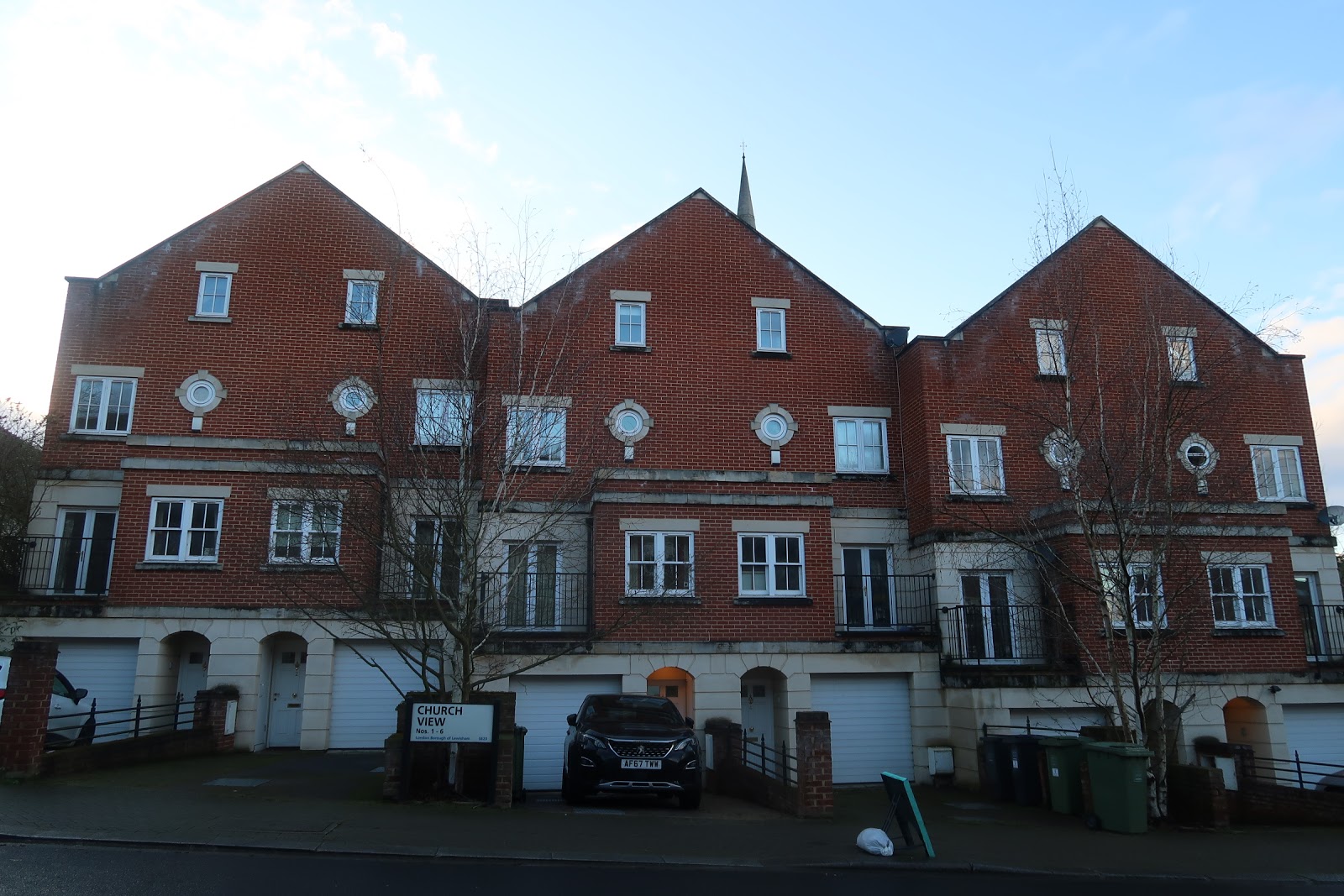
Today, the ridge of bushes to the left of the scene, which would have marked the edge of the church grounds, has been developed with modern townhouses, on land presumably sold by the Church at the turn of the 21st Century.

The postbox, is still in the same location, now outside a large block, named Sunderland Mount, presumably built post war as a large bomb fell on this site, as recorded in the WW2 Bomb census website.

Sunderland Road, February 2020


The postbox in the original picture

Modern houses in what used to be church grounds


Christ Church, some ground of which sold for the houses on the left of the 'now' picture

Friday 14 February 2020

Blythe Vale after a storm

Blythe Vale, June 14th 1914

This is from a postcard, which has, 'Blythe Vale after the storm, June 14th 1914' inscribed on the back. This would make it about 6 weeks before WW1. Clearly summer from the look of the trees as well as the shirtsleeves worn by the chap on the right. The picture itself must have been quite an event given the number of people in the picture - including quite a crowd at the end of the flooding towards Stanstead Road.

Today, the drains look to be working better. As I write this, we are awaiting Storm Dennis, due to bring a month's rain in 1 day. Following already water-logged ground, lets hope the drainage does work better than it did then.


Blythe Hill Hotel, Stanstead Road

Stanstead Road, possibly 1930s

This is the scan of a photograph rather than a postcard. The tramline existed from about 1913 to 1951, and I am guesstimating this picture as about the 1930s based on the style of cars - I have no real idea of date.

I love that the car on the left appears to be on the wrong side of the road and the cyclist is swerving to pass it. I hope he made it!

The modern day picture shows that the Blythe Hill Hotel has become the Blythe Hill Tavern and public transport is still toiling the route - buses ironically being the very reason for the demise of the trams in 1951.

Stanstead Road, February 2020